


7.14 Acres Lot
7.14 Acres Lot
Key Details
Property Type Vacant Land
Sub Type Recreation
Listing Status Active
Purchase Type For Sale
MLS Listing ID 1315670
HOA Y/N No
Annual Tax Amount $216
Lot Size 7.140 Acres
Acres 7.14
Lot Dimensions 383 x 806
Property Sub-Type Recreation
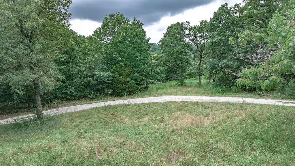
Property Description
Location
State AR
County Washington
Direction Hwy 71 to West Fork and East on CR30 (aka Mineral Springs Rd) for 3.3 miles, then right on CR100 (Low Gap Rd) for 1 mile and right into gate. Continue along the interior road to Tract C.
Exterior
Fence None
Utilities Available Fiber Optic Available, Natural Gas Not Available, Electricity Available
Waterfront Description Pond
View Y/N Yes
Topography Sloping
Street Surface Other,Paved
Road Frontage County Road, Private Road, Public Road, Shared
Building
Lot Description Cleared, Outside City Limits, Recreational, Rural Lot, Views, Pond on Lot, Stream/Creek, Wooded
Faces South
Sewer Septic Needed
Water Not Connected (nearby), Public, Rural, Water Tap Fee
Schools
School District Greenland
Others
Special Listing Condition None
Virtual Tour https://tour.nwarealtors.org/TBD-Low-Gap-Road-West-Fork-AR-72774--1315670/unbranded
GET MORE INFORMATION
Broker | SAEB00089737
jessicagodseyrealestate@gmail.com
2558 E Mission Blvd Ste 201 Fayetteville AR 72703 United States